India’s ability to safeguard its vast borders and vast territorial expanse rests heavily on its satellite and drone technology, as outlined by ISRO Chairman V. Narayanan. During his address at the 5th Convocation Ceremony of the Central Agricultural University in Imphal, he highlighted how these technologies are integral to monitoring the country’s borders and ensuring national security.
Narayanan’s statement underscored the pivotal role that satellite systems play in monitoring both land and maritime territories, particularly along the country’s 7,000 km-long coastline. The technological capabilities of satellite and drone systems enable constant surveillance of India’s vast northern and coastal borders, a task otherwise impossible without such advancements.
India’s geographical location, sharing borders with multiple countries, presents unique security challenges. The ongoing need for vigilant monitoring is compounded by the fact that many of these borders are rugged and difficult to patrol. Satellite systems provide the necessary reach, enabling real-time surveillance and tracking of developments along these extensive areas. In the absence of such technology, maintaining security over such a large area would be highly challenging.
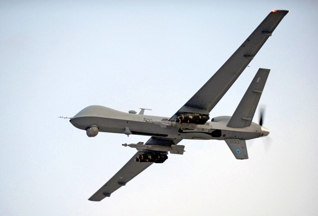
Narayanan’s comments come amid growing concerns over regional security and the need for technological innovation to address both external and internal threats. He emphasised that while drones provide detailed aerial views, satellites offer a broader perspective of areas otherwise inaccessible to traditional surveillance methods. The combination of these technologies has empowered India to detect potential threats, from both natural and man-made sources, in a more efficient manner.
The ISRO Chairman’s remarks also align with India’s broader strategic defence objectives. Over the years, India has made significant strides in enhancing its satellite capabilities, focusing on improving both communication and surveillance technologies. These advancements serve multiple purposes, including disaster management, agricultural monitoring, and national defence. India’s space programme, under the guidance of ISRO, has thus been instrumental in achieving a technological edge in security and surveillance.
The importance of satellite-based surveillance has been particularly evident in the monitoring of critical infrastructure and border areas. With the ever-increasing tension along certain borders, especially in the northern regions, satellites provide an essential tool for gathering intelligence. Narayanan’s emphasis on the importance of these technologies highlights their role in augmenting the capabilities of India’s armed forces and security agencies in real-time decision-making.
As the technological landscape evolves, India’s space agency has focused on building more advanced satellite systems, such as the Cartosat series, which is specifically designed for high-resolution imaging. These satellites have the ability to provide sharp imagery of specific locations, offering enhanced precision in surveillance. Additionally, drones have become indispensable tools for real-time surveillance, providing invaluable support to defence operations and disaster relief activities.
The recent shift towards a more integrated approach to defence, with a focus on technological advancements, has brought satellite and drone technologies to the forefront. Experts have increasingly recognised that relying solely on traditional means of surveillance, such as patrolling and manual monitoring, is no longer sufficient in ensuring national security. As new threats emerge, from cyberattacks to unconventional warfare, the need for continuous monitoring of both land and sea has become more pronounced.
The role of satellite technology in safeguarding India’s territorial integrity extends beyond mere monitoring. The data gathered from satellites can be leveraged for strategic planning, offering intelligence that is crucial for preemptive measures in cases of conflict or potential aggression. Additionally, these technologies support the management of critical infrastructures, such as power grids, communication networks, and transportation systems, ensuring that these assets are protected against any external or internal threats.
While the country has made significant advancements in space technology, there are still challenges that remain. One of the primary concerns has been ensuring that India’s satellite systems are resilient to potential threats, particularly from adversaries who may attempt to disrupt or disable these systems. The space domain has become increasingly contested, with many countries vying for dominance in satellite-based technologies. India, however, has maintained its commitment to developing and securing its satellite infrastructure, ensuring that its national security remains protected.
The integration of artificial intelligence with satellite and drone systems is another area where India is focusing its efforts. AI enables faster processing and analysis of the vast amounts of data generated by these systems, allowing for more effective decision-making. This synergy between AI, satellite, and drone technologies can provide an edge in responding to emergencies, natural disasters, and national security threats.


 India Opens Multiple Gates at Baglihar Dam